

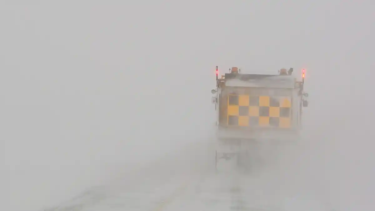
A second major winter storm in a week struck Atlantic Canada on January 26, 2026, dumping up to 35 centimetres of snow on Nova Scotia and driving Labrador wind chills toward -46 under orange warnings. Schools closed, flights were cancelled and winds gusting to 70 km/h created blowing snow across the region.
Second storm in seven days
The snow arrived overnight Sunday and kept falling through Monday, exactly one week after the region’s first major storm of the season. Environment Canada placed all of Nova Scotia under a yellow snowfall warning, with the system expected to continue into Tuesday morning and up to 35 centimetres possible in parts of the province.
Southern New Brunswick, including Saint John and Moncton, was in line for up to 30 centimetres by Tuesday morning, while Prince Edward Island could expect upwards of 20 centimetres.
“We had one really good shot of snow overnight,” said Ian Hubbard, a meteorologist with Environment Canada. “But we are expecting more snow later today to pick up again. It’s certainly not over. We are expecting this to be an all-day event.”
Forecasters warned the pause some areas saw Monday morning was not the end. Another heavy band of snow was expected to add 20 to 30 centimetres across central and eastern Nova Scotia, with winter storm warnings in Shelburne and Queens counties, where higher winds threatened to cut visibility. Temperatures were expected to stay between -8 and -12, with no meaningful warmup during the system.
Cold as dangerous as the snow
The snow was only half the story. Orange warnings were in effect in parts of Labrador, where extreme cold could make it feel like -46 — the level at which Environment Canada says significant damage and widespread disruption are likely. Winds gusting up to 70 kilometres per hour whipped the fresh snow into blowing snow and difficult travel across Newfoundland, where wind chills over the weekend ranged from -20 to -42.
In Halifax, buses ran on the city’s reduced snow plan and most public schools across Nova Scotia were closed, except those in the Cape Breton-Victoria regional centre. Halifax Stanfield International Airport reported widespread delays and cancellations, with roughly three-quarters of scheduled arrivals and departures cancelled by Monday morning and double the usual number of crews working to keep runways clear.
Power grids under strain
The deep cold that preceded the storm tested both of the region’s power systems. Over the weekend, Nova Scotia Power took the unusual step of asking customers to conserve energy by turning off high-consumption appliances such as ovens and dryers and lowering thermostats, as heating demand pushed the grid to historic levels. The utility said demand surpassed its previous peak record of 2,454 megawatts, set in 2023, reaching 2,481 megawatts.
The conservation request was lifted Monday as temperatures moderated from the -30 wind chills of the weekend, and the utility said localized outages were handled without system-wide load shedding. Not all customers welcomed the appeal. “A lot of us are already reducing what we can just to afford bills,” Halifax resident Megan Balcom wrote in an email to The Canadian Press.
In Newfoundland and Labrador, residents spent the weekend under the threat of rolling outages after frazil ice — a slushy ice that forms in turbulent water — jammed the intake pipes at the Bay d’Espoir generating station, shutting the 604-megawatt plant down for the first time since it entered service in 1967. The province’s hydro utility called off its warnings Monday morning after crews returned six of the station’s seven generating units to service.
Hubbard’s advice to anyone assuming the region was in the clear was blunt: check the forecast before travelling anywhere. “If anyone’s jumping the gun that we’re out of this yet, I assure you we’re not.”